This Geological Map is the result of a project involving the geological survey offices of the Emilia-Romagna, Marche, Toscana and Umbria regions, and the University of Siena, Center for Geotechnologies.
In the years 1980-2010 the local administration governments of some regions in Central Italy (Marche, Emilia-Romagna, Tuscany and Umbria regions) separately completed the geological mapping of their territories at 1:10,000 scale, mostly producing maps as vector data using Geographic Information Systems (GIS) capabilities. All the maps have their own geological legends often with local names for lithostratigraphic units, but no effort was made to have “continuous” polygons across map boundaries, and the vector data do not share the same GIS database structure.
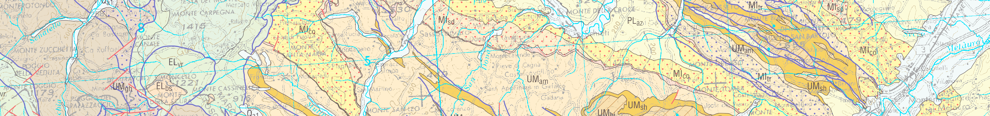
Later on the geological survey offices of the Marche, Emilia-Romagna, Tuscany and Umbria regions, started a still ongoing project aimed to compile a common geological map for their territories at 1:10,000 scale. The map should be based on the previously available data, delivered in vector format using single GIS database, have a common geological legend, and have no discontinuities at regional administrative boundaries.
This Geological Map at 1:250,000 scale, with explanatory notes, is the first result of such project. In this web site we will make available for free download all the documents produced.